Mars Global Imagery KMZ for Google Earth
![]() Google Mars version 1.2
Google Mars version 1.2
Mars Global Imagery KMZ for Google Earth
NASA Mars Global Surveyor, Mars Orbital Camera Digital
Images,
NASA Mars Viking Colored Mosaic, and
US Geological Survey Topographic Map of
Mars
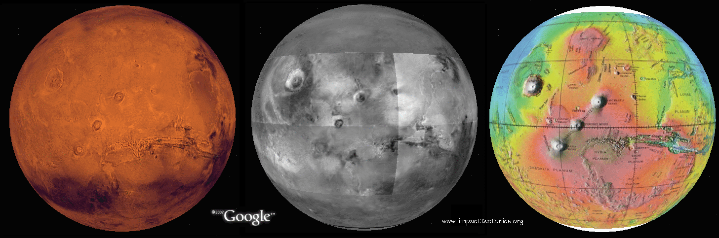
A Google Earth implementation combining surface images acquired by NASA
Viking 2 (left)
and Mars Global Surveyor (center) and part of the US Geological Survey
Topographic Map of
Mars (right). Please note that when using Mars
imagery on Google Earth that spatial dimensions
for Mars are about 1/2 the size for Earth.
Also note that Google Earth 5.0 (Build
date Jan 29. 2009)
provides high-resolution imagery of Mars that supercedes this
work.
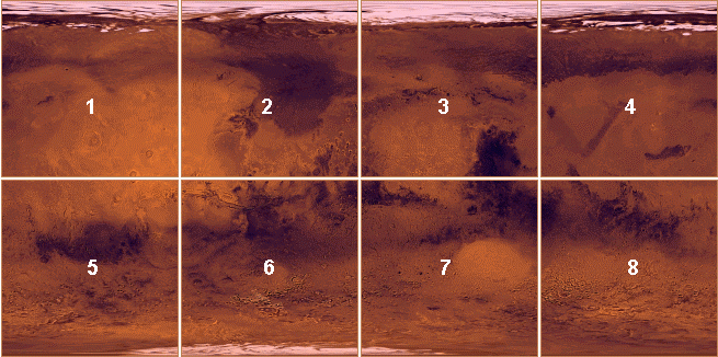
The Google Mars ver 1.2.kmz file
(2KB) uploads 8 tiled colored images (left), 30 tiled grayshade
images (center) and 6 tiled topographic images (right) into Google Earth
to produce a seamless,
global coverage of crustal imagery and topography. The colored imagery
totals 263.0 MB , the
grayshade imagery 16.9 MB, and the topographic imagery 3.0 MB, respectively.
The surface
images have a 64pixels/degree (920m/pixel) resolution. The KMZ file loads
into Google Earth
but doesn't upload the images until they're activated.
Source Data:
1) Arizona State University Mars Space Flight Facility:
Viking Merged Color
Mosaic
2) Marlin Space Science Systems
Mars Oribiter Camera
Global Mosaic 1999-2004 and
3) Marlin Space Science Systems
Mars
Orbiter Camera, Geodesy Campaign Mosaic 2002.
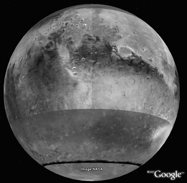
Click on the image below for a more detailed
view
The following is adapted from www.msss.com/mgcwg/mgm/.
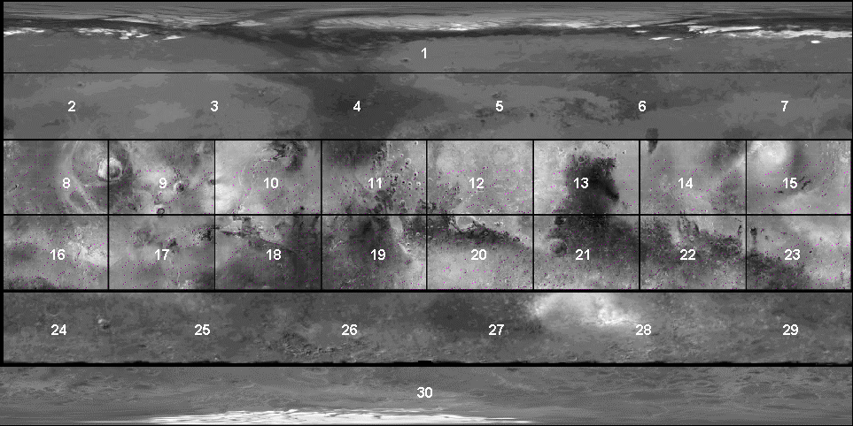
The 1994-2004 mosaic was assembled from Wide Angle red images acquired in 1999 from the Mars Orbiter Camera. It's produced at 64 and 256 pixels per degree. In the initial release, all quadrangles were complete except for the polar regions (1) and (30) and areas on quads 24 through south of 60S. The south polar coverage (30) was completed in 2002 and the polar quads updated in August 2004. The band of latitude between 60S and 65S still needs to be reprocessed. Each quadrangle is in simple cylindrical projection and geographic latitude, using the same spheroid and prime meridian as that used by US Geological Survey Map of Mars MDIM 2.0 (Re = 3396.0 km, Rp = 3376.8 km, W0 = 176.7215 °). Equatorial images 8 through 23 are part of the MGS MOC Mars Digital Map, resolution of about 1 kilometer per pixel. Each quadrangle is independently contrast-enhanced and labeled with a 5-degree grid. A Google Earth view of the application is shown below including the dark band of omission.
4) US Geological Survey Open-File Report
02-282 (7.65
MB), Topographic Map of Mars
The part of the topographic map between
57oN and 57oS uses a Mercator (simple cylindrical)
map
projection and is suitable for use in Google Earth. The Polar regions use
another map projection and are not included in this
implementation.
![]() www.impacttectonics.org
rev
08/27/2009
www.impacttectonics.org
rev
08/27/2009